

Atlas of Surveillance
Documenting Police Tech in Our Communities
with Open Source Research
Search our database of police tech — enter a city, county, state or agency in the United States.
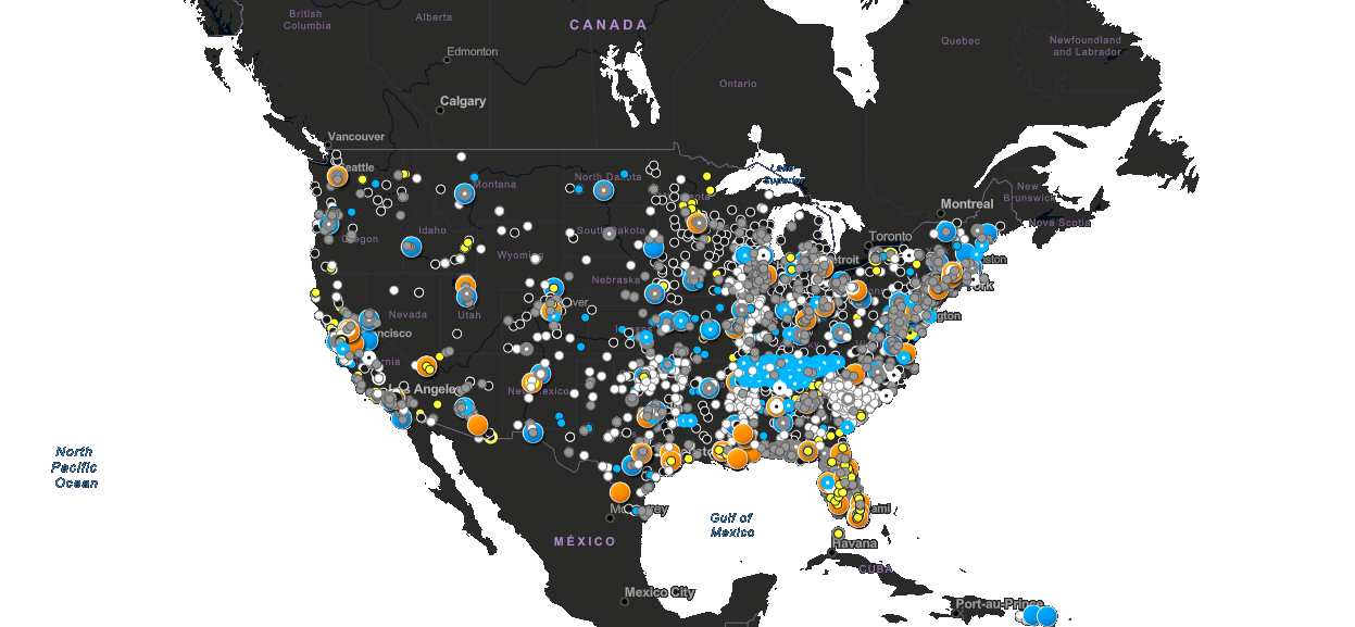
Explore our interactive map of police tech in the U.S. (loads 3rd party assets).
Explore the MapWhat is the Atlas?
The Atlas of Surveillance is a database of surveillance technologies deployed by law enforcement in communities across the United States.
This includes drones, body-worn cameras, automated license plate readers, facial recognition, and more.
This research was compiled by more than 1,000 students and volunteers, and incorporates datasets from a variety of public and non-profit sources.
Donate
Bring transparency to policing and privacy to our communities. The Altas of Surveillance is a free public interest project of the Electronic Frontier Foundation.